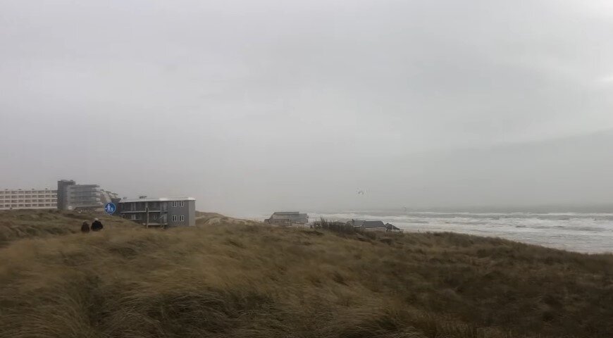
Storms #dudley and #eunice are approaching.

These so-called twin storms will cause a lot of inconvenience.

It is the calm before the storm…. literally! Or plural actually: storms.
Late this week, storms Dudley (Thursday) and Eunice (Friday) will begin housekeeping in the Netherlands.

So, after storm Corrie, which already caused a lot of damage two weeks ago, we are already getting number two and three to deal with.

During the course of tomorrow, the wind already begins to pick up, it is just the prelude to what awaits us Thursday and Friday.


Storm Dudley

blank

The wind peaks in view. Dudley peaks next night, but the wind field remains prominent during the day. In the evening and night of Thursday to Friday, things temporarily quiet down. Eunice then peaked Friday night. In the afternoon the wnd does increase already.

Dudley courses with core from Scotland across the North Sea to southern Sweden and moves through the Baltic Sea to Russia tomorrow. The wind field will remain present in our area for a long time tomorrow. Only at the end of the day does a back of high pressure gain influence and the wind gradually decreases from the south.

After a mild Wednesday afternoon with 12 to 14 degrees in many places, southwest winds increase tonight. In the coastal areas the wind will be gale force (8 Bft) and right by the sea may reach gale force (9 Bft) later tonight and tonight. This may include (very) strong wind gusts around 100 km/hour.

Another line of showers is also scheduled to pass over the northern half of the country during the second half of the evening and early night. Very heavy wind gusts of just over 100 km/h are also possible with this squall line. Without showers, there are inland wind gusts of 75 to 90 mph.

Tomorrow the wind will continue to be strong for some time, and especially on the Wadden Islands and directly on the north coast, the westerly wind may still have gale force (9 Bft) at times tomorrow morning. Furthermore, winds are mostly gale-like at sea and strong to strong inland. In the far north there is still a chance of (very) strong wind gusts up to about 100 km/h in the morning. In the rest of the country, wind gusts mostly reach between 70 and 90 km/h.

In the late afternoon and tomorrow evening the wind decreases from the south.

Several more days of turbulence

The weekend and also Monday will remain downright variable with very high winds at times, although it will not blow as hard as Friday during the passage of Eunice.